Research project Spatial modelling of acid sulphate soils in the Mälaren valley
This project is performed in collaboration between the Geological Survey of Sweden and researchers at the Linnaeus University and Stockholm University to evaluate and develop a spatial model for the occurrence of acid sulphate soils.
When the Scandinavian ice sheet had retreated from southern Sweden at the end of the last ice age, the entire Mälaren valley was inundated in the Baltic Sea stage called the Yoldia Sea. Throughout the later stages of the Baltic Sea, mainly in the Littorina Sea, fine-grained sediments collected to form sulphide soils where oxygen availability was low (as it still is in certain areas of the Baltic Sea floor today). Since the retreat of the ice sheet, land rise has lifted most of the Mälaren valley above the sea surface, and these fine-grained soils today largely comprise arable land.
Large areas of these farmlands have been ditched for agriculture. When the soil is drained, the water table is lowered, which can lead to oxygenation of sulphide soils. When this happens, the iron sulphide minerals in the soil react, and the soil turn into an acid sulphate soil, releasing sulphuric acid. The pH in the ground falls and metals are released and transported with groundwater flow. This leads to acid shocks and high concentrations of toxic metals in waterways, something that can become a serious environmental issue.
Because of the environmental risks connected to acid sulphate soils, it is important to find out where in the landscape they occur. Since it would be very laborious to determine this through nation-wide field investigations, the Geological Survey of Sweden has developed a machine-learning based spatial model that combines limited field data with landscape parametres such as topography and occurrence of different geological deposits to calculate the probability of the occurrence of acid sulphate soils, even outside of a sampling area. The results of this model are already published for a large area along the coast of northern Sweden.
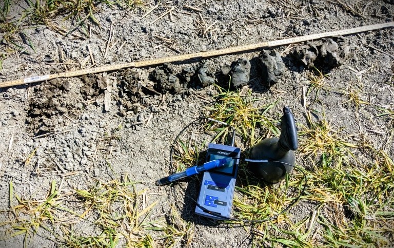
As a part of the research about the occurrence of acid sulphate soils in Sweden, the usage of this model is now being examined in the Mälaren valley based on field data from a sampling area around Örebro. This means that the model for the Mälaren valley extrapolates into a large area beyond the sampling area. The purpose of this sub-project is to investigate what level of improvement is achieved in distant areas by increasing the amount of field data supplied to the model in the sampling area. To verify the model results, they are compared to spot-checks at sites at various distances from the sampling area. Hopefully it will be possible to quantify to what degree field investigations are necessary to create reliable maps through modelling.
The project is performed in the years 2023-2024 with the aid of students doing their degree project.
Information about the already published model maps of northern Sweden can be found here:
Project members
Project managers
Simon Larsson
Postdoctoral researcher

Members
Simon Larsson
Postdoctoral researcher